Showing posts with label Seals. Show all posts

Sunday, 18 February 2018

Kaikoura to Waipara


Travelling south from Kaikoura, there are still a lot of roadworks where the roads were affected by the earthquake. Mostly slips. At this one we had to sit for some time as we waited to be allowed through. You can see the black mesh/material up high to the right where they are trying to secure the cliff face and stop more crumbling away. In the distance at the front of the line, just by the tunnel, was a man in a cherry picker (scissor lift?).

This man was doing something to the cliff face. It looked like he might have been pounding some sort of anchors into the rock. If you know, please make a comment below and enlighten us all!

Here's a closer pic.

While we waited, we were entertained by this seal playing and sunning itself in the water.

Finally, we got to drive through the tunnel.


Helicopters were flying in various supplies to the workers at the top of the cliff.

Further along the road, more signs of slips.

Another one-way section—stop-go—traffic was allowed through the right tunnel only.

We stayed the next few nights at Torlesse Winery in Waipara. What a fabulous place, (an NZMCA Park Over Property), with wonderful hosts—Kym and Maggie Rayner. We enjoyed tasting their wines while we were there, but even more enjoyable was having the pleasure of Maggie's company in our rig on the night before we left. We had a great chat over a bottle of their Albarino, a delicious white wine from a Spanish grape. They have two brands here: Torlesse and Omihi Road.

Another bonus: the night we arrived, another van pulled up and out stepped an old work colleague I'd not seen for over ten years! Kim and Selwyn were on their way to Christchurch where their sons were competing with remote-controlled race cars.

I regret not taking more photos here at Torlesse. I was obviously too relaxed and just enjoying the place! :) We will definitely be back.

If you cannot see "Post a Comment" below, click here (and scroll down to the bottom of the post) to talk to me!

Saturday, 17 February 2018

Kaikoura


We loved Kaikoura when we came through about ten years ago, and in spite of the earthquake damage (November 2016), it still retains its colourful charm and character. There are some fabulous murals. I only managed to photograph a couple this time round.


Looking back at the entrance to Kaikoura township . . .

And a view towards town. You can see the whale mural half way down the street on the right.

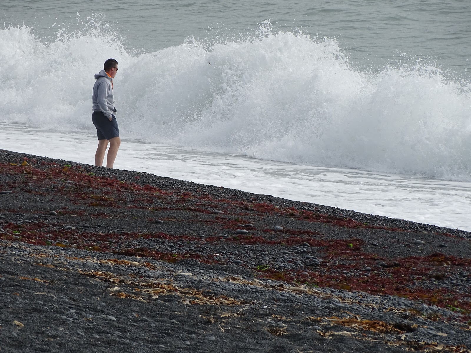
The beaches were stony on both sides of the peninsula. These photos are from the northern side. You can see the southern side in my Kaikoura NZMCA Park blog post.


In the township, there's a bridge across Lyell Creek to get to the beach.

 Signs of earthquake damage to the shops not yet repaired.

There was a shop window devoted to the story of the quake, a timeline and a tribute to those who helped during the crisis.

A few shops have not yet reopened, but notice the yarn bombing!


A colourful, cheerful addition to the braces put in place to support the shop verandas.

We stopped to speak to a local who had this beautiful dog in the tray of his ute. Bella's story was poignant. Her owner rescued her from a plastic bag full of puppies that had been thrown into the sea. Bella was the only survivor. Isn't she beautiful? What some people can do is beyond understanding.

Some small shops have sprung up in these containers. It reminded me of the waterfront in Wellington, except I think the grass and plantings in front of these make them more aesthetically pleasing and quaint!

On the end of the far right container is the recent history of Kaikoura. If you manage to enlarge the "Land Transformed" photo below, you may be able to read about how 80km of coastline was lifted out of the sea, 1700 people were involved in the rebuild, 85 landslides were cleared, 1 million cubic metres of material was moved from landslides, etc.

We took a drive along the waterfront past the township. Here we saw more evidence of how the land has risen.


There were fascinating rock formations in this area. This was probably all under water before the earthquake.


Further around, at the end of the road, we found this access down to a large rocky expanse that people were walking out on to get nearer the sea and the seals. A local told us the water used to come right up the the bottom of the steps!


Seals frequent this area. They come right up to the buildings. Hence the gates in front of the toilets—to keep the seals out!

The road back towards Kaikoura township.

And back to the southern side of the peninsula, this is where some of the fishing boats come in.

Close by was another wharf where the whale watch boat (and others) let off their passengers.

Still on the southern side, more white rocks . . . more evidence of changes in the landscape wrought by the earthquake.

If you cannot see "Post a Comment" below, click here (and scroll down to the bottom of the post) to talk to me!

Saturday, 27 January 2018

Cape Palliser


It was a really hot day when we decided to drive out to Cape Palliser. On the way, we passed through a small township on the coast—Ngawi.

This is where old bulldozers enjoy their retirement—towing boats to and from the sea.

A little further on, and . . . seals! There were about ten NZ fur seals, most of them just sleeping in the sun.

This one apparently had an itch it couldn't quite reach!


And this one had just come out from a cooling dip in the sea.

Eventually, we reached the Cape Palliser lighthouse, which is really the end of the road. Cape Palliser is the southernmost point of the North Island. It is even further south than Nelson or Blenheim in the South Island.

Contemplating the lighthouse. All those steps! 253 of them.

Fortunately, the steps were nice and deep, and each one was not too high, which made the climb a little easier.

Almost there . . .

And finally, at the top. I think I must have lost a bit of fitness over the past few weeks—I had to sit in the shade for a while to catch my breath! It wasn't quite as long a climb as up to the East Cape Lighthouse, but it still got the heart pounding. Maybe I could blame the heat. I was wishing I'd brought my water bottle.

The lighthouse was built in 1897 and it's 18 metres high.

At the top, the view back down the way we'd come . . .

. . . and on the other side, the car park and the end of the road.

Time to go back down again.

I took some photos of the road on the way back to Ngawi. It was unsealed and narrow in places

Then we noticed this amazing rock formation. The layers of rock jut right up into the sky.

This photo below (the same as earlier—this time look at the rocks and not the seals) shows the left side of the road—left of this huge rock formation above. The hills on the far left of the photos above are the same hills to the right of the photo below. It seems to be a ridge that comes out of the sea (the campers are parked on it) and then up to the sky. The road drives right over it.

More narrow roads . . .

. . . and then a sharp corner with water running over the road.

We took a detour to visit Lake Ferry on the way back to the rig. Lake Ferry is not an actual lake, but a small village on the shores of Lake Onoke.

Lake Onoke opens out into Palliser Bay.

We'd heard the fish and chips here at the Lake Ferry Hotel were legendary, but there was a classic car club event and lots of hungry people. The line to get into the hotel was barely moving, so we decided to move on to Martinborough.

The cars at Lake Ferry were fabulous. A huge variety and obviously much loved.


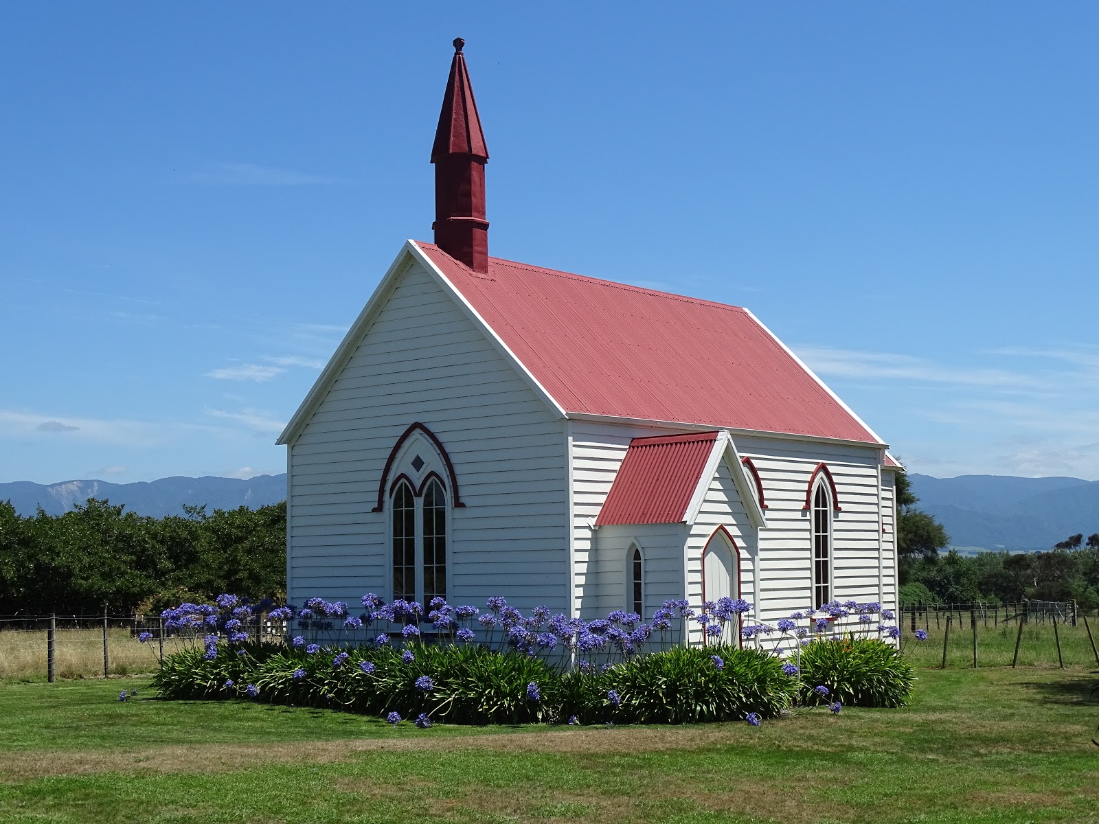
While heading towards Martinborough looking for lunch, when we came across this lovely old church.


Martinborough Hotel . . . and a delicious lunch. It was 31 degrees, and even in the shade it felt hot.

I forced myself out into the heat and across the road to get this shot of the hotel. Isn't it beautiful?

If you cannot see "Post a Comment" below, click here (and scroll down to the bottom of the post) to talk to me!