Showing posts with label Rocks. Show all posts

Sunday, 8 April 2018

Roxburgh Dam


Roxburgh Dam was commissioned 1956 - 1962. It's a concrete gravity dam built with 1.5 million tonnes of concretemuch of it poured by hand. The dam is on the Clyde RiverNZ's largest river, running 338km from Lake Wanaka to the Pacific. 

The surrounding landscape is spectacular, with schist walls towering over the road.


The downriver side of the dam.

One of the three slipways, showing only a trickle of water being allowed through.

The dam is 76 metres high, and 358 metres long. A contract was given to an English firm for £8.6 million. It seems they lacked experience in building dams and when it was eventually decided they were not meeting deadlines, the contract was moved to a New Zealand firm, Downer & Co. The workforce was cut from 1107 to 850 and things progressed under the improved management. The eventual cost of the dam was almost three times the original contract. £24.1 million. Which just goes to show that the lowest bid is not necessary the best!

You're not allowed to stop on the dam, so I had to jump out and quickly take some photos while Dave drove off to find a turning spot. Yes, he came back for me!

This orange log barrier appears to be doing a good job here . . .

. . . but not so good in the other direction. You can see several logs have managed to slip through.

 Some more views of the three slipways . . .

 . . . but not much water passing through them today.

Where it all goes. The warning says, "Danger220,000 volt lines overhead".

Lake Roxburgh, formed by the dam, extends for almost 30 km towards Alexandra. It's run by eight turbinesthe eight penstocks are easily seen in this photo.

Looking downriver.


If you cannot see "Post a Comment" below, click here (and scroll down to the bottom of the post) to talk to me! 


Monday, 12 March 2018

Slope Point and Curio Bay


Slope Point is the southernmost point of the South Island.

The rocks here closer to the sea look very black.

Again, interesting signs of changes in the coastline and the land.

Right here, a little back from the cliff, the soil was eroding away. Who knows what this place will look like in another 500 years.

The different soil and rock layers are evident in this section of the cliff.


On our way from Slope Point to Curio Bay, we stopped briefly at Weir Beach. The tide was out and there were a few of these South Island Pied Oyster Catchers wading through the wet sand.


Eventually we reached Curio Bay. This is looking out over the bay, where the petrified forest is. During high tide, this area is covered with water—it's best to visit four hours either side of low tide. The wooden structure you can see to the right in the distance is a viewing platform and walkway down to the floor of the bay.

On the viewing platform, a sign explains how millions of years ago, "steady heavy rain fell on nearby ash-covered volcanoes, creating rivers of mud, ash and rocks. These ash-filled waters flooded hundreds of square kilometres including this forest. The ash in the floodwater was rich in silica which impregnated the standing trees, literally turning them to stone in the space of months."

We went down to get a closer look.


It was not always easy to pick the trees. The next three photos show this wood of a tree . . .

. . .  closer . . .

. . . and closer.

This looks like what was left of a tree stump


After leaving Curio Bay, just around the corner is Porpoise Bay.

A very different sight. White sand, and surf coming from all directions.

They say this is where you often see Hector Dolphins, but we saw none today.

The sea was wild and rough. It was very chilly and windy, and so we didn't hang around too long.

On the way home, just south of Waikawa, we found this little wharf on an estuary feeding into Porpoise Bay


If you cannot see "Post a Comment" below, click here (and scroll down to the bottom of the post) to talk to me!  


Wednesday, 28 February 2018

Karitane


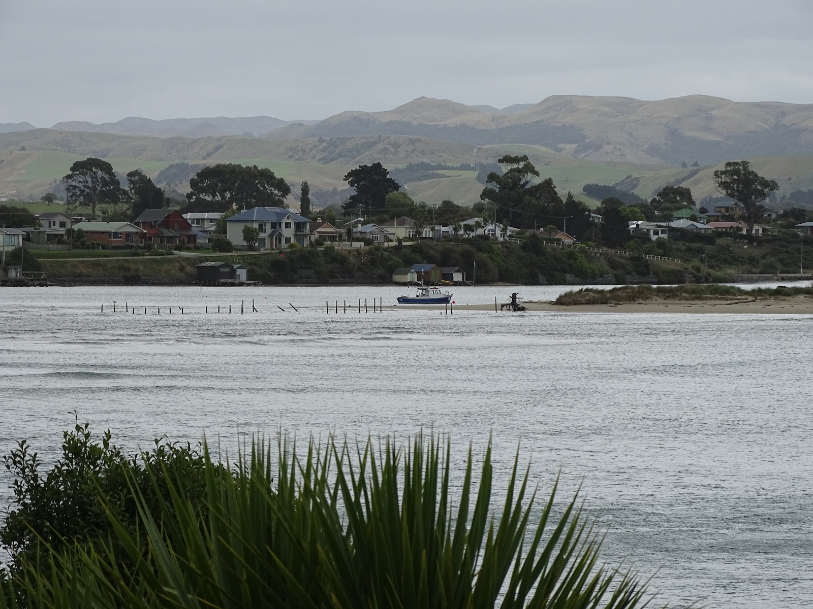
Karitane, a small seaside village about 30 mins north of Dunedin, lies at the mouth of the Waikouaiti River.

A tribute to Sir Fredric Truby King who founded Plunket and Karitane Hospitals. Sir Truby owned a holiday home here in Karitane.

More photos of the Karitane area.


On the eastern side of Kaitane is the Huriawa Peninsula. Once a pa site, it is now a historic reserve. There are tracks all over the peninsula and some magnificent views. Entry is free, but there is a place when you can give a koha (donation) towards the upkeep of the reserve. Dogs are allowed here on leads.

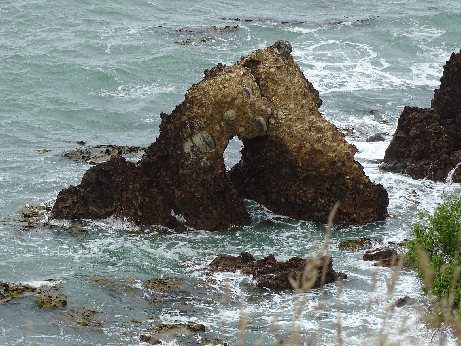
This rock with a hole in it is on the southern side.

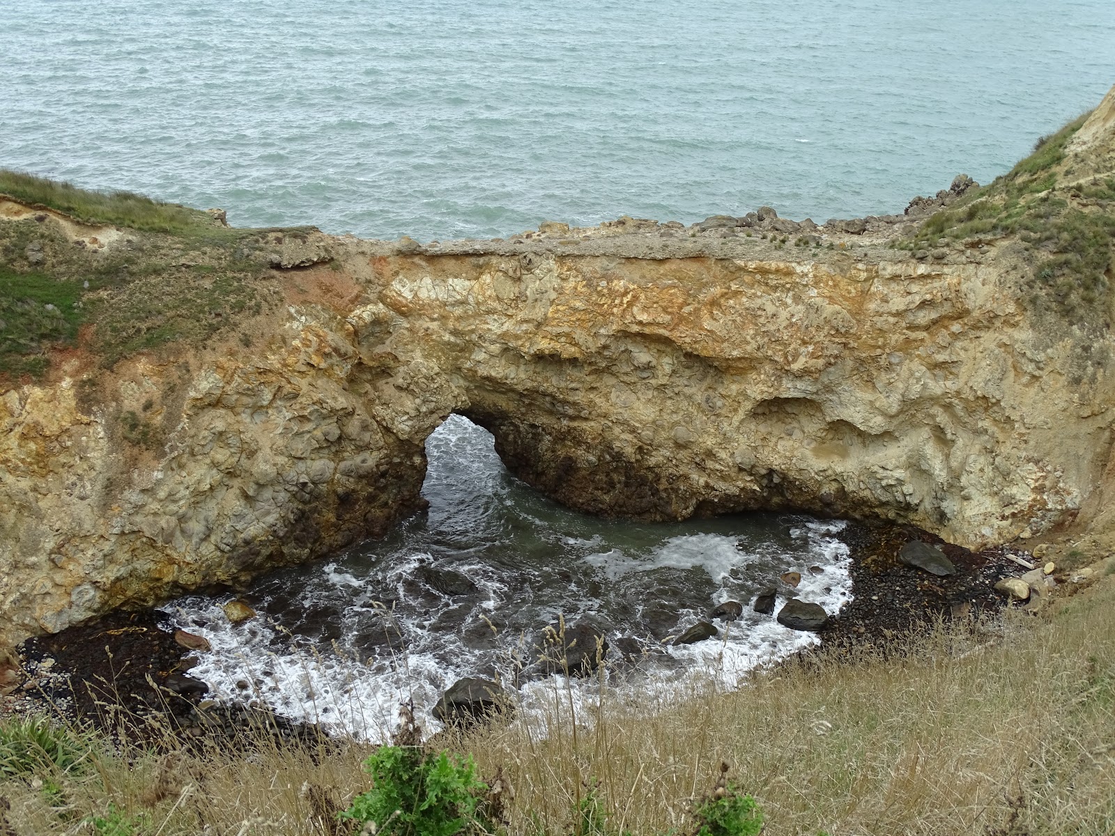
Again on the southern side, a place where the sea pours through a gap into a small area.

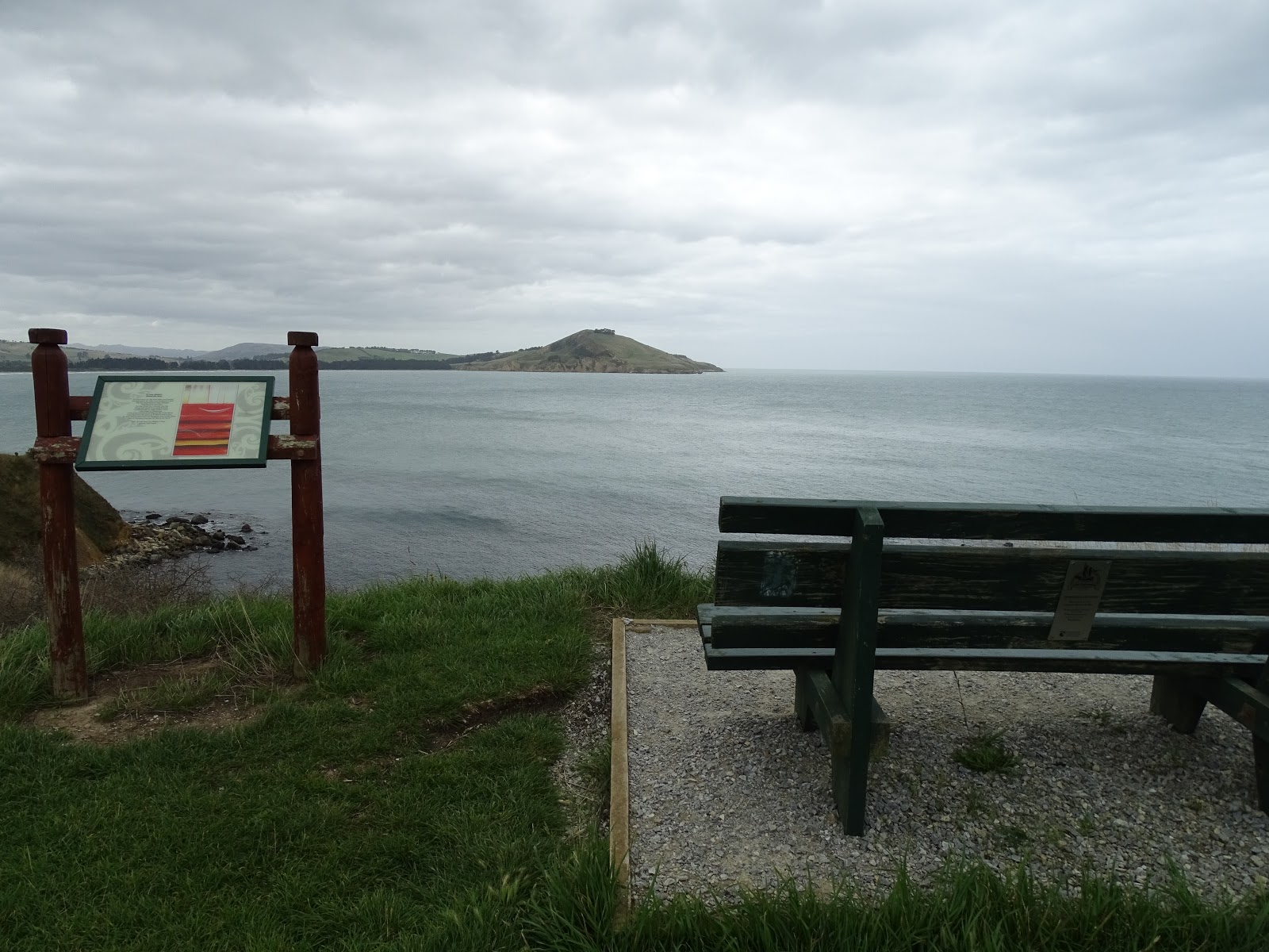
At different spots along the track are signs similar to this, telling Maori stories of the area.

Another interesting area created by the constant erosion of the sea.

Looking out across the Bay towards Waikouaiti Beach and Cornish Head.

Looking towards the end of the peninsula . . .

There came a point where we could go no further.

There were several traps set in the area, clearly marked "Do Not Touch". (See bottom right photo.)

The northern side.


The tracks are not signpostedyou can wander at will. When we arrived back near the entrance, we decided to head off down another track, heading south. If we hadn't, we would have missed a close-up view of these magnificent rock formations.

The inside of the fence at the entrance to the reserve.

Looking back at Karitane. This is the Huriawa Peninsula in the centre right of the photo and Waikouaiti beyond in the distance.

A closer view . . .

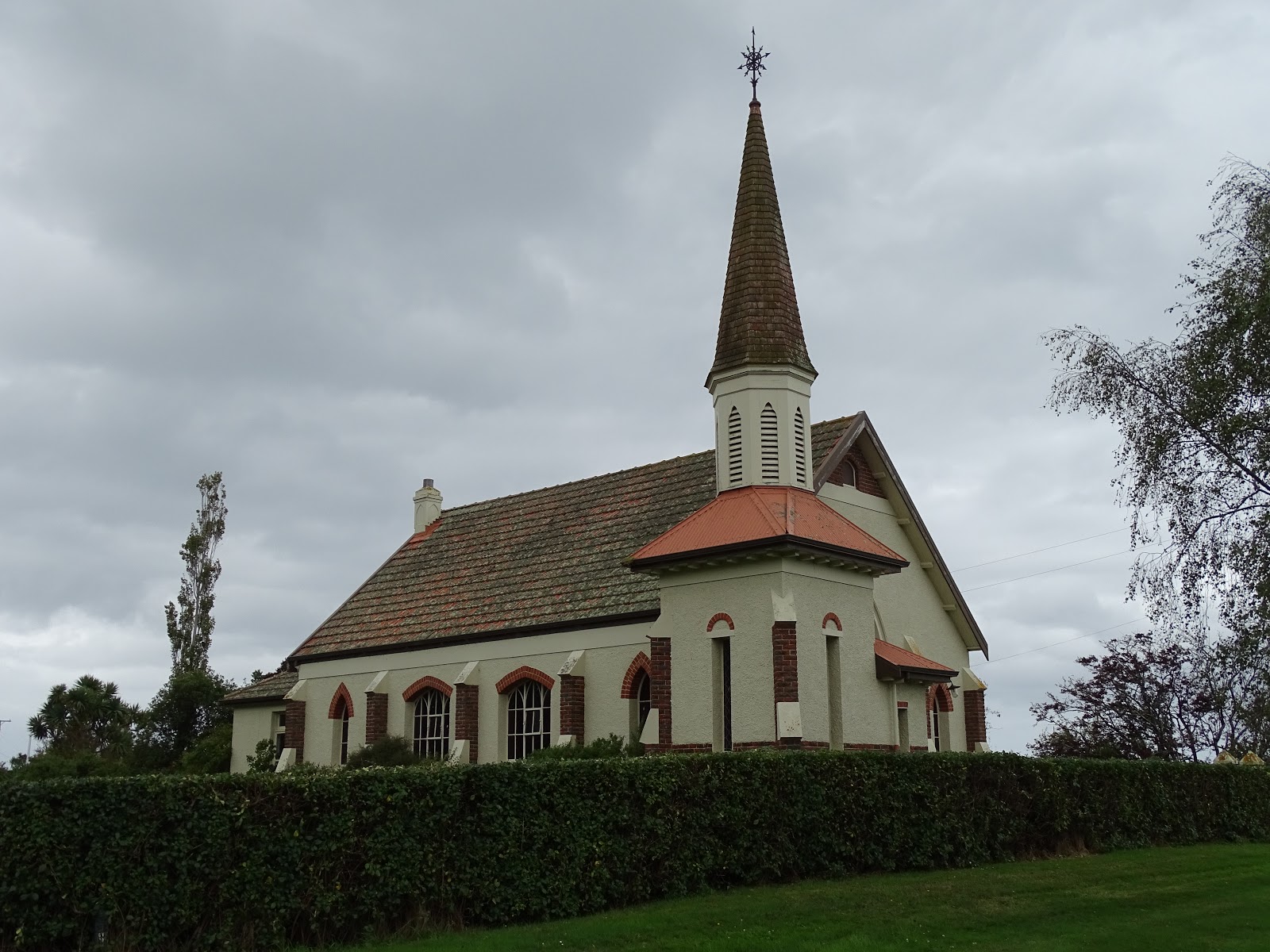
This former Roman Catholic Church at Seacliff has been restored and converted to a home. Seacliff is another small town south of Karitane.


If you cannot see "Post a Comment" below, click here (and scroll down to the bottom of the post) to talk to me!