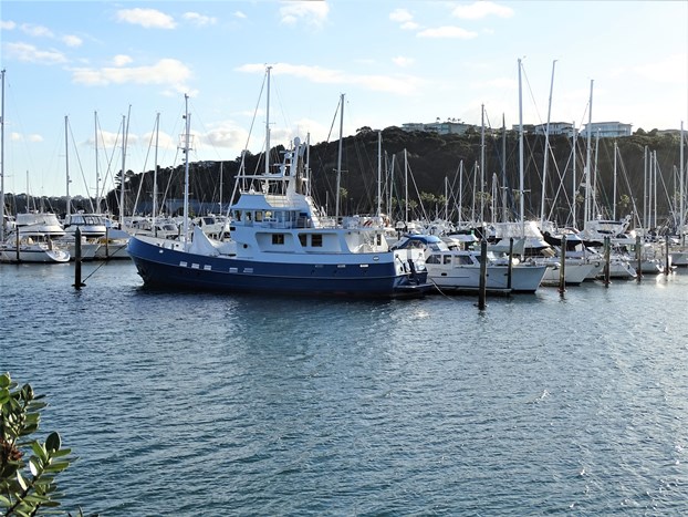
Last weekend was stunning weather. We spent the Saturday with friends who'd travelled up from Hahei to visit their son who lives near Manly and Stanmore Bay. On Sunday we went for a drive; the Whangaparaoa Peninsula is quite hilly and some of the streets are quite steep. We first went UP the hill from where we're staying to see what we could see . . . a beautiful view across the water towards Auckland city.
Then we drove back down and headed east—out towards the end of the peninsula and Shakespear Regional Park, hoping to be able to take Lucy for a walk; but unfortunately, dogs are not allowed in the reserve. So we kept driving and before long came across Okoromai Beach, on the Auckland side of the peninsula. Lots of people were gathering cockles in the low tide; I was surprised at the footwear of some of the people who'd ventured out into the water to find some.
Back up on the grass was a convenient tap to hose the sand off the cockles . . . and those shoes! There are several signs around—in a few different languages—reminding people that there's a limit of 50 cockles per gatherer per day.
Although it was getting later in the day, there were still a lot of people around taking advantage of the sunshine—Okoromai Bay Beach is obviously a popular picnic spot.
After we left that beach, we headed north to the other coast and Army Bay. Just to the right of this photo is a boat ramp, and the car park we were in had plenty of longer parking spaces to allow for cars with boat trailers. No doubt it's much busier than this in the summer.
Looking west along the beach.
There were some intriguing trees like this one that appear to be lounging on the sand with their roots stretched back towards the bank, anchoring them to some life-preserving sustenance. As on many beaches in New Zealand, the sea appears to be slowly encroaching on the land.
Dogs were welcome on both beaches at this time of year—Lucy enjoyed a run along the sand off leash on the Army Bay Beach where there were fewer people. This photo was taken back at Okoromai Bay Beach.
Heading home again, we stopped at this small lake—I don't know that it has a name. We've seen model boats on it in the past. Dave pointed out the golf course he'd played on just last week—you can see some bunkers on the far side of the lake.
Here's a map of the area. The golf course Dave was on was the Gulf Harbour Country Club; it's quite a large course—on both sides of Gulf Harbour Drive. The Whangaparaoa Golf Club is also showing on the map—yet to be played, but I understand there is a plan . . . .
If you cannot see "Post a Comment"
below, click here (and
scroll down to the bottom of the post) to talk to me!


